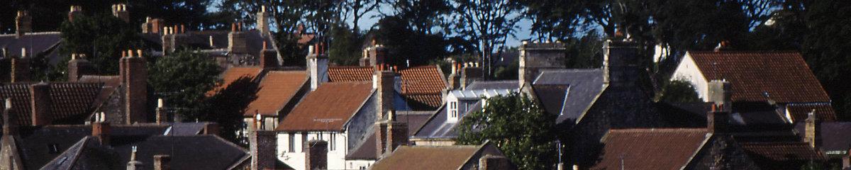
There are 46 public Rights of Way in Warkworth parish with a total length of some 20 miles. These provide access to coast and countryside and some are incorporated into the England Coastal Path and into St. Oswald’s Way.
All RoWs in the county are mapped by Northumberland County Council at Public Rights of Way (arcgis.com).
To find RoWs in the parish either zoom on the map or search for Warkworth.
A specific RoW can be found by searching by Parish number / path number, for example Warkworth is parish 137 and a search for 137/007 will take you to the Mill Walk.
The RoWs are detailed in the documents attached
Maps and descriptions of some walks can be found in the following, locally available, booklets:
Warkworth by Ian Smith ISBN 978 0 9931161 2 4
Warkworth Heritage Walks Warkworth History Society
or viewed in the presentation attached. These can be followed by uploading the appropriate GPX file to a suitable App.
Primary responsibility for the maintenance of Public Paths lies with the Highway Authority (Northumberland County Council) and landowners and tenants.
The Parish Council can also help to keep our paths in good condition. If you encounter any problems contact the Parish Clerk – warkworthparish@gmail.com.
Files:
 Warkworth Rights of Way (1).pdf
- WPC Footpath Survey Jan2023 (1).pdf
- Warkworth Walks - Presentation 1.pdf
 Saint_Oswalds_Way_2-1.gpx.gpx
- The_Bord_Walk_one.gpx
- The_countryside,coal__coast_one.gpx
- The_Cross_one.gpx.gpx
- The_dune_one.gpx.gpx
- The_locals_one.gpx
- The_pod_one.gpx
- The_Saint_Oswalds_one.gpx.gpx